|
There are many shallow reefs along this stretch of the coastline near the mouth of the Great Fish River, which resulted in a number of shipwrecks during the 18th and 19th centuries. In a rudimentary attempt to alleviate the dangers, signals were relayed to ships offshore from two lanterns erected on a pole, but this proved to be relatively ineffective.
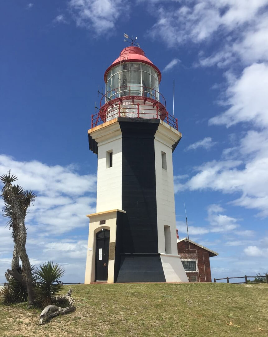
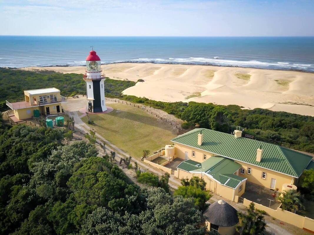
In 1890, a Lighthouse Commission appointed by the Governor of the Cape Colony recommended that a lighthouse be established in the area. Although lighthouses are usually located close to the shoreline, in this case it was decided to construct the tower on a prominent headland 76 meters above sea level and approximately 800 meters away from the shore, in an attempt to make the light more visible. The chosen site was about 4 kilometers to the south-west of the river mouth. It took another 8 years before the lighthouse was finally completed, using handmade parts shipped out to the colony from Birmingham in England. Each brass joint was numbered to match the next, allowing local workmen to recreate the original design. The lamp was lit for the first time on the 1st of July 1898. |
|
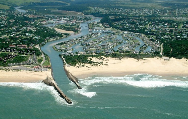
Port Alfred is situated in the center of the Sunshine Coast, in between and equidistant from East London and Gqeberha (Port Elizabeth). The town was established in the early 1820’s by British Settlers who were moved into the area as a buffer between the Cape Colony and the Xhosa people. Split in half by the Kowie River, it originally developed as two separate towns; people living on the western bank named their settlement Port Kowie, and those on the eastern bank named theirs Port Frances. In 1860, after a visit by Queen Victoria’s son Prince Alfred, the towns were combined and the name changed in his honor.
|
LSA Number |
33 |
Name |
Great Fish Point |
Province |
Eastern Cape |
Location |
Near Port Alfred |
GPS Coordinates |
S33.519637 E27.105981 33°31'10.7"S 27°06'21.5"E |
ARLHS Number |
SAF-046 |
Admiralty Number |
D6416 |
NGA Number |
32096 |
Active |
Yes |
First Established |
1898 |
Commission Date |
1 July 1898 |
Decommission Date |
Not applicable |
Construction Type |
Octagonal masonry tower |
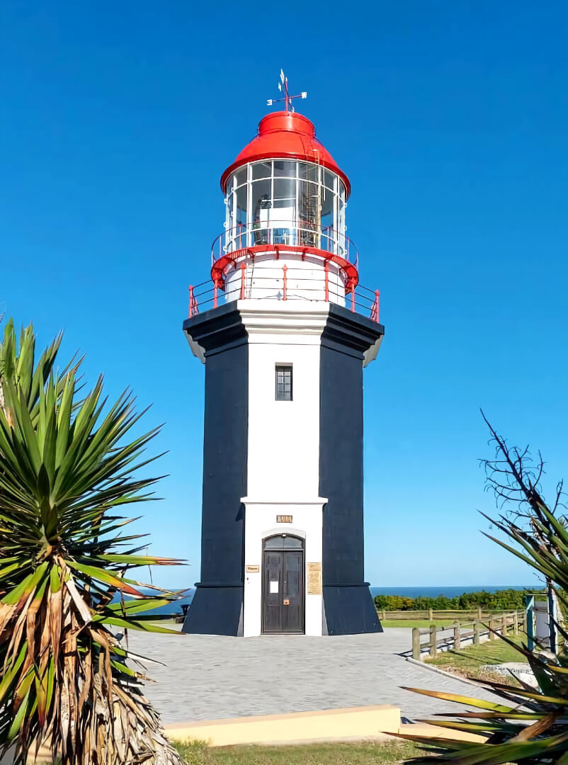
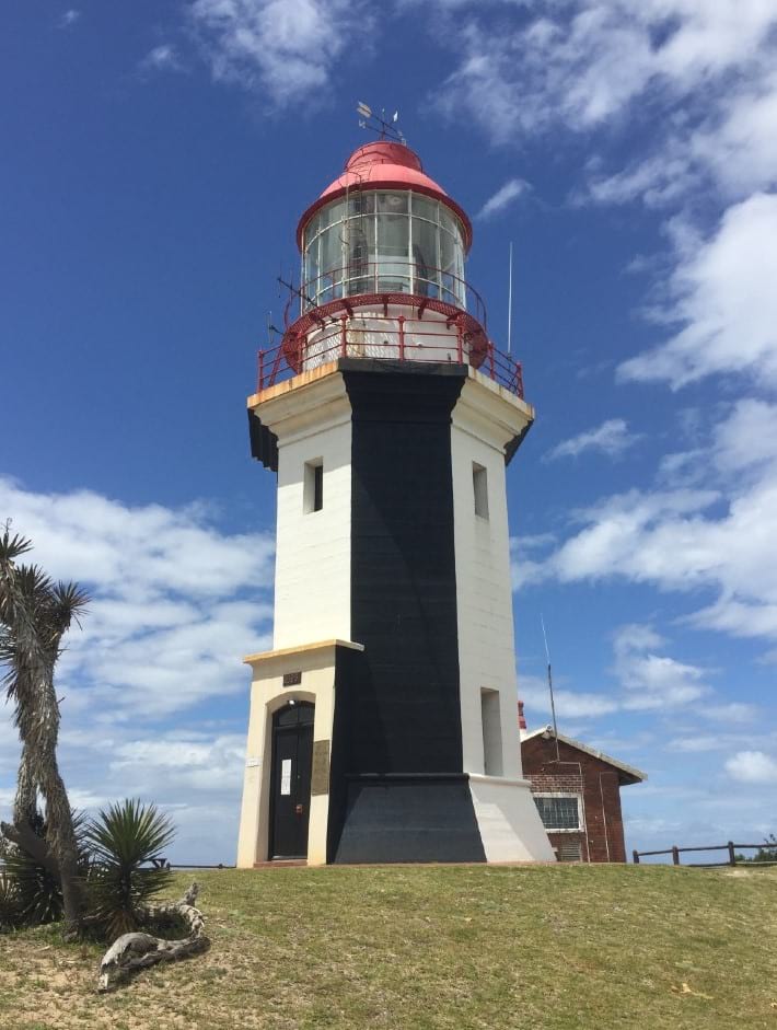
Daymark |
Vertical faces of the tower painted alternately black and white; lantern painted white with a red dome. |
Tower Height |
9 meters (30 feet) |
Focal Plane |
85 meters (279 feet) |
Luminous Intensity |
5,000,000 candelas |
Nominal Range |
30 nautical miles |
Characteristic |
Fl.W. |
Period |
10 seconds |
Pattern |
Fl. 0.5s, ec. 9.5s |
Pattern Description |
1 white flash every 10 seconds. |
Manned |
Yes |
Site Open |
Yes |
Fenced |
TBC |
Tower Open |
Yes |
Accommodation |
Yes |
Access Notes |
Car / 4x4 |
Access Notes |
There is a graveled road of 4.4 kilometers (2.7 miles) from the R72 to the lighthouse complex. It is recommended that a vehicle with high clearance be used. In wet weather, a 4x4 might be required. |
|
|
|
|